We are fully licensed and authorised by the Italian Civil Aviation Authority (ENAC) for the provision of all our services.
What this means is that you are assured of partnering with a reputable and professional service provider that is fully insured, only employs highly experienced pilots and is at the forefront of safety, privacy and security.
Our focus is on the agricultural, forestry, survey, commercial, industrial and natural resource management industries.
UAV services
Aerial survey & mapping
- Aerial Photogrammetry
- 3D Modeling
- Video Mapping
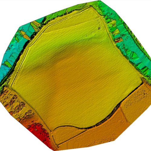
- Digital Terrain Models (DTM)
- Digital Surface Models (DSM)
- Digital Orthomosaic photos
- Digital Elevation Models (DEM)
- Point Cloud Generation
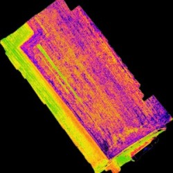
- Multispectral Imaging
- Stockpile Calculations and Pit Volumes
Aerial Inspection and Monitoring
- Routine Plant Inspections
- Building and Roof Inspections
- Power-line Inspections
- Conveyor Inspections
- Pipeline Inspections
- Slope Stability Monitoring
- Towers and Chimneys Inspection
- Wind Turbine Inspections
- Dam Wall Inspections
- Bridge Inspections
Aerial environmental survey and monitoring
Sezione vuota. Modifica la pagina per aggiungervi del contenuto.
Aerial thermography services
Sezione vuota. Modifica la pagina per aggiungervi del contenuto.
Precision agriculture
Sezione vuota. Modifica la pagina per aggiungervi del contenuto.
Aerial photography & film
Sezione vuota. Modifica la pagina per aggiungervi del contenuto.
Real estate & construction
Sezione vuota. Modifica la pagina per aggiungervi del contenuto.
Data processing and reporting
Sezione vuota. Modifica la pagina per aggiungervi del contenuto.
